You are here
New algorithm helps satellites avoid space debris
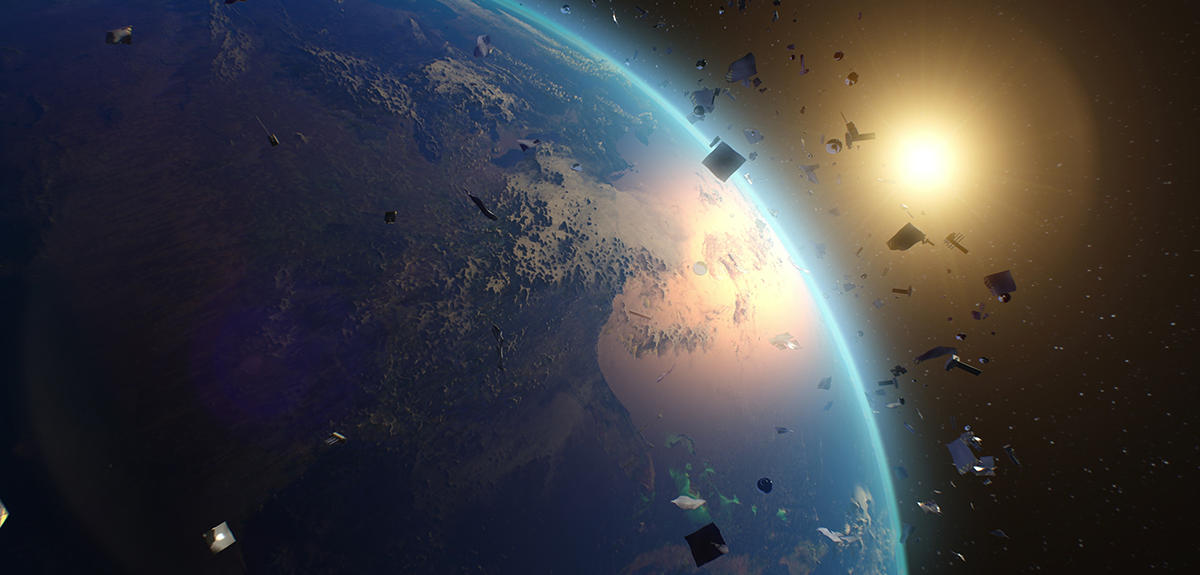
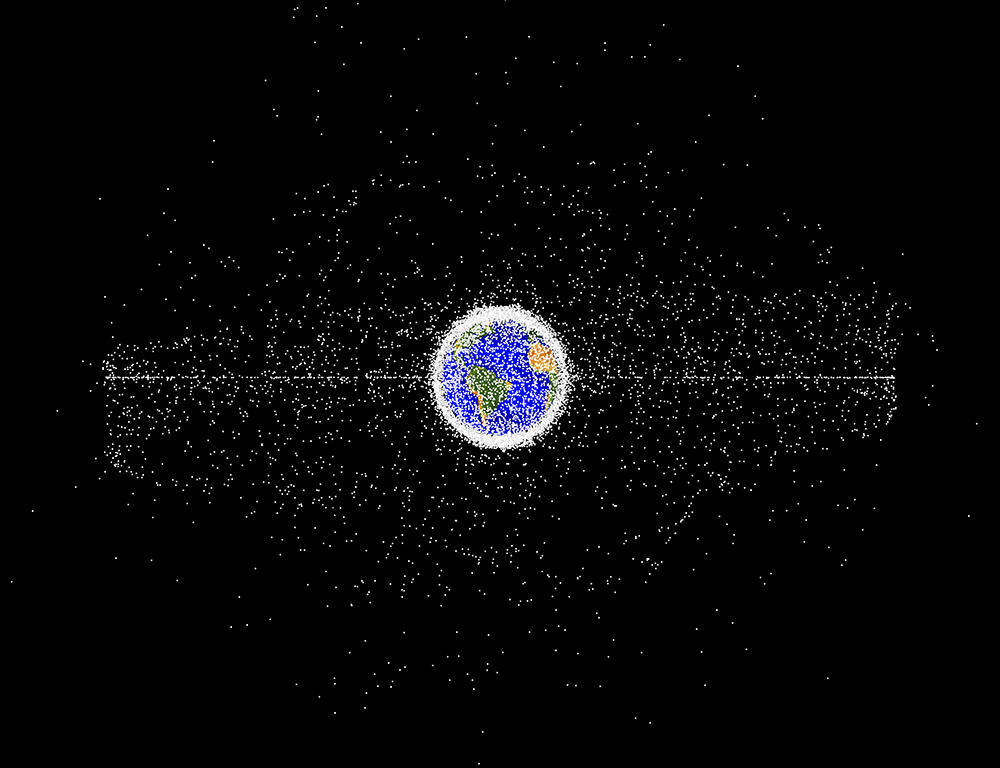
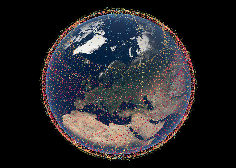
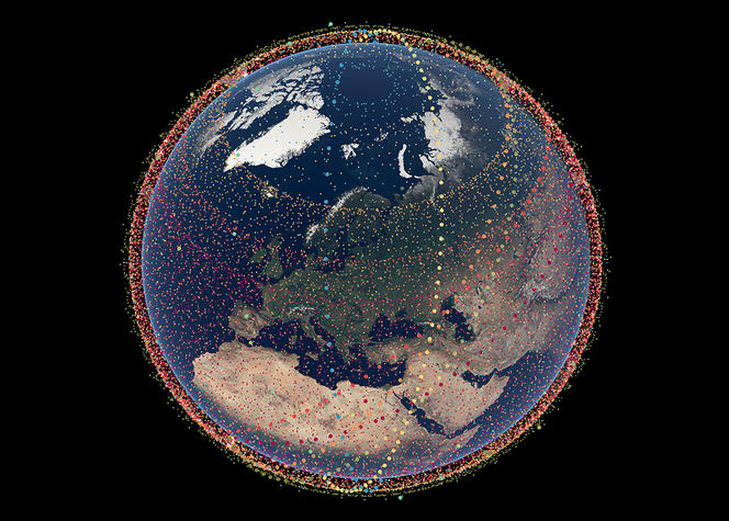
Since 1957, when the first Sputnik was launched, space exploration has profoundly affected our daily lives. At the same time, however, it has transformed the Earth's immediate environment into a huge dumping ground for debris of all shapes and sizes, ranging from derelict spacecraft and rocket stages to bolts and tools lost by astronauts. This waste, either released during missions or resulting from breakups caused by explosions and collisions, is mainly concentrated in two regions around our planet: low Earth orbit – at altitudes between 200 and 2 000 kilometres – and geosynchronous Earth orbit, located 36,000 kilometres from Earth. This accumulated junk is now reaching alarming proportions: it is estimated that there are currently 36,000 objects exceeding 10 centimetres in size (including just a few thousand still active satellites), one million measuring between 1 and 10 cm, and 130 million of less than 1 cm.

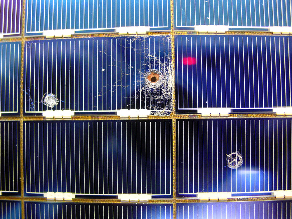
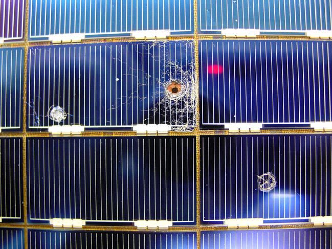
Because of their very high speed, they threaten active satellites and manned missions with potentially disastrous collisions. And these have actually occurred on a number of occasions, such as in 1996 when debris from an Ariane rocket disabled France's Cerise satellite, and in 2009 when the American Iridium 33 spacecraft completely disintegrated after Kosmos 2251, an old Russian spaceship, struck it at a whopping 42,000 km/h.
Improving forecasting to reduce avoidance manoeuvres
Today, the dangers of space waste are taken very seriously by space agencies and satellite operators. Specialised teams constantly monitor their craft and, in the event of a major risk of collision, modify their flight path trajectory in order to avoid the debris. Operations of this kind have become increasingly frequent. For instance, several times a year, the International Space Station has to be manoeuvred to avoid a potential collision. And things are getting worse: the number of satellites is increasing every year, as is the amount of debris, and there appears to be no immediate solution in sight. “In this context, it has become vital to assess risks as accurately as possible in order to prevent such encounters, while at the same time doing everything we can to reduce false alarms to a minimum, since avoidance procedures are both long and costly,” points out Florent Deleflie of the Institute of Celestial Mechanics and Ephemeris Calculations (IMCCE).1
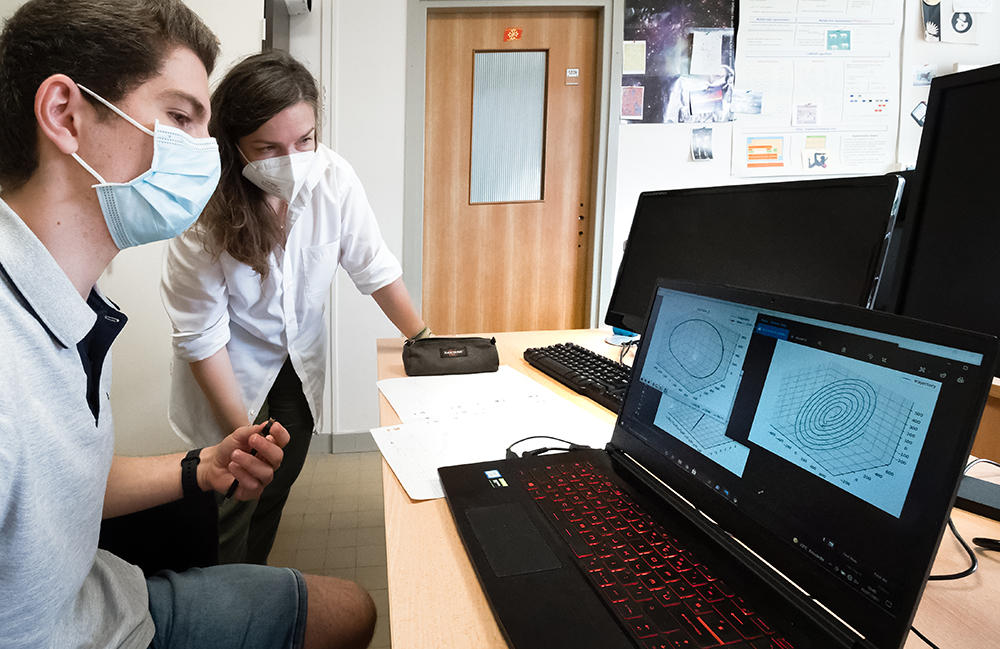
This is precisely what CNRS researchers are attempting to do. Teams from the Laboratory for Analysis and Architecture of Systems (LAAS-CNRS), working in collaboration with the LIP computer science laboratory,2 have produced a very fast and reliable algorithm to calculate the risks of collision. The algorithm, developed in 2016, is now being used by the French Space Agency (CNES) to assess the dangers to its satellites, and has proved to be highly effective.
Modelling uncertain trajectories
But how exactly can an impact risk be measured? The answer is to use a catalogue, mainly compiled by the US space surveillance network, that identifies the position of the largest, most dangerous debris, measuring over 10 cm. This makes it possible to project their orbits and predict their future position, in order to identify a risk of collision. “The trajectories of objects as well as of satellites cannot be known accurately a long time in advance due to measurement errors by ground-based radars and telescopes, and also because of the difficulty of properly modelling all the disturbances that affect the space environment, such as atmospheric friction in low Earth orbits,” explains Denis Arzelier of the LAAS, co-author of the algorithm.
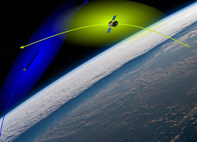
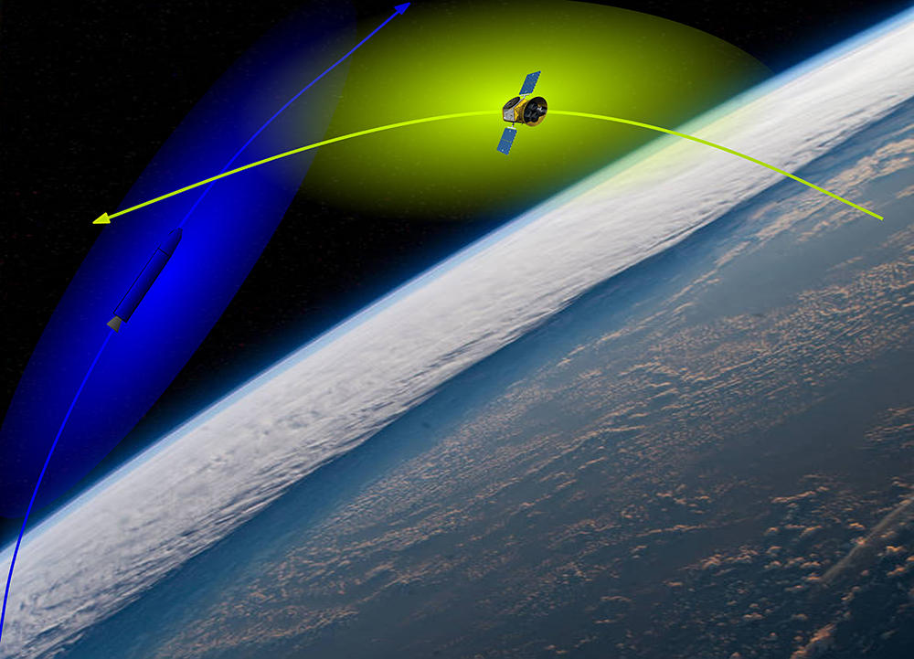
Put another way, this means that the path of a space object can be thought of as being contained within a tube, which becomes wider as uncertainty increases. Assessing the risk of a collision therefore amounts to calculating the likelihood of the two tubes crossing each other's path at a given time. “Mathematically speaking, this probability is defined as a two-dimensional integral of a Gaussian distribution (the famous bell curve representing a set of random data) on a disc,” says Mioara Joldes, co-author of the work and member of the LAAS. The space industry has agreed on this definition and established a threshold for the probability beyond which an avoidance manoeuvre becomes necessary: 1 in 10,000.
A more reliable, faster and more precise algorithm
Once the risk exceeds this value for a particular satellite, the US surveillance network is the first to issue an alert to the satellite's operator. In most cases, as the trajectories of the two objects are updated with more recent observations, the alert is lifted. If the danger remains significant, however, teams of analysts get hard at work calculating the likelihood of collision with greater precision. “Determining this integral has to be optimal so as not to introduce any additional error. And that's where we have made a highly worthwhile contribution: our algorithm significantly improves the accuracy of the calculation and what's more, requires less time than most other methods,” Joldes says. This was verified by tests at the CNES using a database of a very large number of real cases.
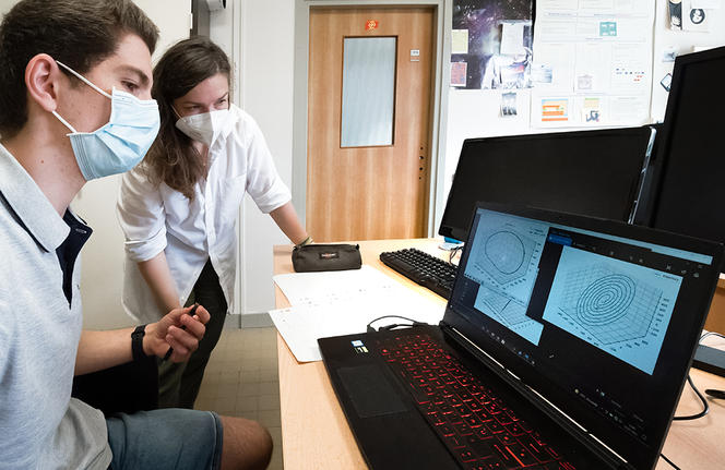
To develop their algorithm, the researchers used a mathematical technique known as symbolic-numerical computation, a field of research that aims to improve the efficiency and reliability of numerical calculations on computers. Unlike other, more complex methods used until now, this involves performing a series of simple operations on a sequence of numbers, which offers a better guarantee of precision – in terms of the number of correct digits – and is easier to implement on a machine.
An encouraging simulation
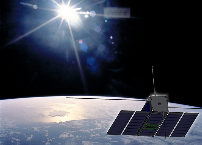
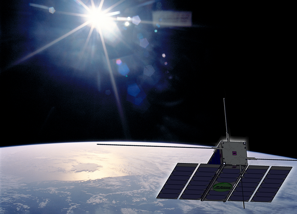
It was because of this latter feature that the algorithm was recently taken on board a satellite. Since 2021, it has been integrated into the ASTERIA flight software developed by the CNES and used on the European Space Agency (ESA)'s experimental CubeSat, OPS-SAT. The tests, which are not carried out in real conditions but on simulated cases of potential collisions, once again demonstrated the computer program's reliability. “On the satellite, where there is far less room and computing power than on the ground, our algorithm’s simplicity has proved particularly effective for calculating collision risk,” Arzelier says. This demonstration could therefore open the way to greater flight autonomy for satellites in the future.
Eventually it is hoped that at each alert the spacecrafts themselves, which constantly monitor their position and speed, will use their on-board computer to automatically assess the risk of collision and, if necessary, compute the avoidance manoeuvre. That would save a considerable amount of time since it would no longer be necessary to perform calculations on the ground or communicate with the satellites.
The challenge of satellite constellations
This issue is of utmost importance in view of the unprecedented rise in the number of launches over the past few years, mainly into low Earth orbit, where congestion has become a problem. And the situation can only get worse with the ongoing deployment by the private sector of mega-constellations, such as the Starlink and OneWeb projects, which will eventually be made up of several thousand satellites in very close proximity, in order to ensure worldwide broadband internet coverage. However, this will lead to an increased likelihood of collision with debris that will need to be analysed more frequently. Risk assessment procedures will therefore have to be speeded up. Hence the need for autonomous satellites and for tailor-made algorithms such as that developed by the French researchers.
And that's not all. To guard against collisions, current risk calculation methods will have to be modified. “Although today we are perfectly capable of determining the risk of collision of a piece of debris with a specific spacecraft, we don't yet know how to model the problem in the case of waste that might potentially collide with a constellation of a thousand satellites,” Joldes admits. “This is the question on which all our research is currently focused.” After the success of their first algorithm, the researchers very much intend to keep up the good work. They are already thinking about using new numerical tools to deal with the growing proliferation of space junk, so that we may continue to enjoy the benefits of space exploration for a long time to come.


