You are here
Submarine cable surveys seismic fault offshore Mount Etna
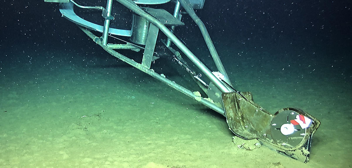
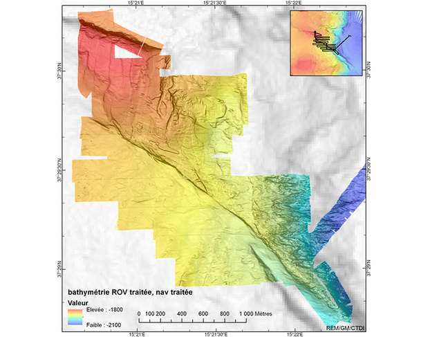
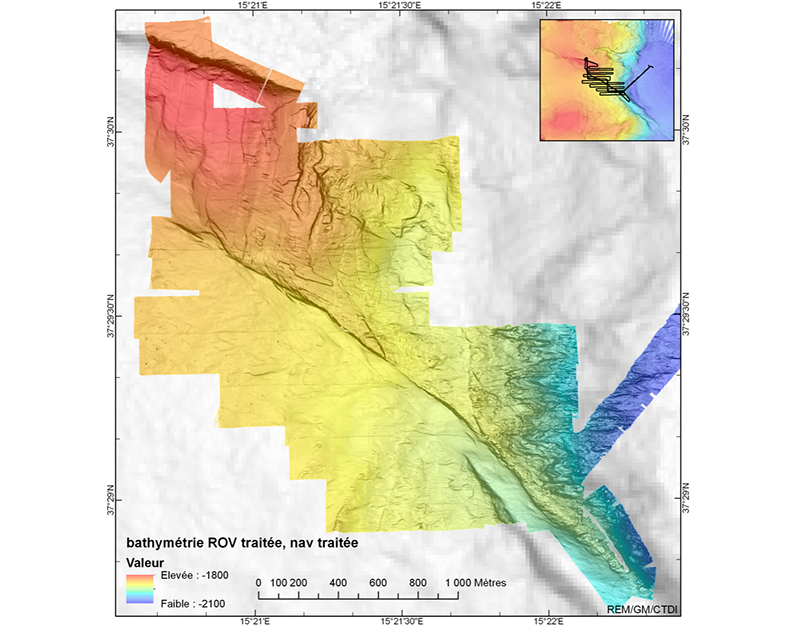
In October 2020 a groundbreaking operation was carried out by the French oceanographic fleet’s research vessel Pourquoi Pas? during the “FOCUS X1” expedition, when a laser interferometry-based system was deployed on the Mediterranean seafloor at a depth of 2,100 m, some 25 kilometres from Sicily’s Metropolitan City of Catania and its one million inhabitants. This initiative sought to monitor, and above all shed light on, a large submarine seismic fault called the North Alfeo Fault. Stretching over 80 km at the bottom of the Ionian Sea, it is located some ten kilometres from the submerged eastern flank of the 3,300 metre-high Sicilian volcano Mount Etna.
In the past, this southern Italian volcanic region had already been struck by deadly earthquakes. In 1693, the area south of Catania was hit by a seism of magnitude 7.5 on the Richter Scale, causing a tsunami and 40,000 fatalities, while in 1908, the Messina quake, 100 km further north, killed 72,000 people.
The secrets of the fault
This new device will hopefully enable scientists to learn more about the North Alfeo Fault, an offshore prolongation of an active fault system on the southeastern flank of Mount Etna, Europe’s highest and most active volcano. With a total length of 150 km, the system was mapped for the first time during two oceanographic campaigns conducted in 2013 and 2014 by French scientists based in Brest (northwestern France) and their German partners at GEOMAR, in Kiel. The North Alfeo Fault is what is known as a strike-slip fault: the eastern block is sliding along the fracture in a southeasterly direction. This is the same kind of motion as found in the North Anatolian (Istanbul, Turkey) and San Andreas (California, US) faults. Within less than 20 km from Catania, an urban region with a population of around one million, it could be a major earthquake hazard.
“Seismic faults can behave in different ways,” explains tectonics expert Marc-André Gutscher, director of the Brest-based Ocean Geosciences Laboratory (LGO),1 which is part of the European Institute for Marine Studies (IUEM).2 “They sometimes slide slowly and smoothly, as in certain sections of San Andreas. When they happen, such events go unnoticed as there is movement but no earthquakes.”
Faults can also exhibit slight, irregular motion, producing small earth tremors at variable intervals, over years or decades. However, as Gutscher explains, the worst-case scenario, and the one that specialists fear, is a locked fault “lasting several years, or even centuries, until one day, the accumulated stress is suddenly released, causing a major earthquake.” This doesn’t appear to be the case here: in 2018, a team of German scientists showed that the slow collapse of Etna’s eastern flank into the Mediterranean had caused a slip estimated at 4 centimetres over the period from April 2016 to July 2017.
Innovative technology
Until now, laser interferometry has mainly been used to carry out very precise monitoring of the structural integrity of major engineering works such as bridges, dams and tunnels, as well as to detect gravitational waves, tiny distortions in space-time, using special observatories. In this case however, a technique called Brillouin Optical Time Domain Reflectometry (BOTDR) is used. This consists in injecting laser pulses into an optical fibre so that these can provide, as they propagate, an “optical identity card” of the fibre that is sensitive to the slightest external mechanical or thermal disturbance.
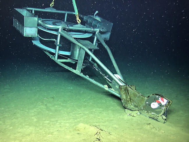
Ideally, this technique can locate a movement of as little as 50 micrometres (one third the thickness of a human hair), at a distance of several tens of kilometres, with a spatial resolution of a few meters. This technology has never before been applied to the study of submarine faults. It was Gutscher who had the novel idea of deploying an optical fibre cable in the Mediterranean, offshore Mount Etna’s eastern flank and crossing the North Alfeo Fault at four different points. Over the next five years, this system will be used to observe deformation of the seafloor, as part of the innovative ERC FOCUS project,3 which receives European funding to the tune of €3.5 million.
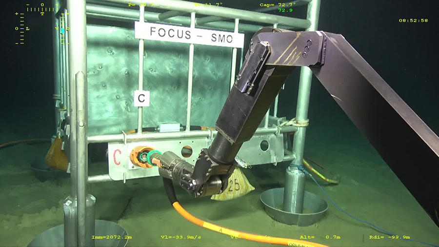
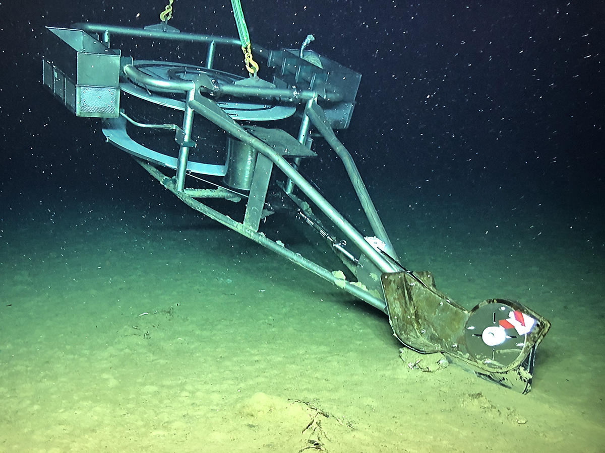
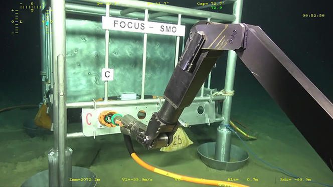
It took two years to design and assemble the optical and acoustic equipment and instruments. While the cable is of French-Norwegian design, Gutscher's team had to incorporate special connectors, adapted to the pressure of the deep sea and to the existing underwater cabled observatory, the Test Site South (TSS) of the Catania INFN-LNS.4 To calibrate the system and successfully interpret the laser signals in terms of the deformation of the seafloor, eight Canopus acoustic beacons, which are in constant communication with one another, were also deployed on either side of the fault: these seafloor geodetic stations were developed and tested by Jean-Yves Royer from the LGO laboratory, in collaboration with the company iXblue.
The 6-km long fibre optic cable consists of 5 optical fibres connected into two loops (of 12 km and 18 km) that will each provide an independent measurement of possible strain (movement) where the cable crosses the fault. This duplication of the measurement can help rule out the possibility of a spurious measurement (isolated artefact).
All that remained was to deploy the equipment on the seafloor, which was done from 6 to 21 October 2020. Setting out from Toulon (southeastern France), the team piloted the underwater Remotely Operated Vehicle (ROV) developed by the French National Institute for Ocean Science (IFREMER). Called Victor 6000, the robot had to bury the nearly one-centimetre-diameter cable in the sediment at a depth of 20 cm, using a specially designed plough.
Ideas for the future
The campaign was a success: the €600,000 worth of equipment installed at the bottom of the Mediterranean will enable the observatory at the port of Catania to henceforth receive in real time the echoes from the light signals transmitted through the fibre. Its technicians can now analyse the slightest indication of fault movement (1 to 2 cm) and activity.
In the near future, Gutscher hopes to undertake two new oceanographic campaigns: “FOCUS G1” in summer 2021, for geodetic surveys of the seafloor, followed by “FOCUS X2” in early 2022, in which an array of 25 seismometers will be deployed on the Mediterranean seabed. This is expected to complement a ground network run by the INGV, Italy’s national institute of geophysics and volcanology. Also in the pipeline are sediment coring, a shallow seismic survey, and palaeoseismology (characterisation of the fault’s long-term seismic activity), as well as imaging of deformation recorded in shallow benthic sediments.5
If this technological breakthrough off the coast of Sicily is confirmed in future years, the next step could consist in trying to adapt and upgrade the world's telecommunications cable system to create a planet-wide seismological network.
- 1. CNRS / Université de Bretagne Occidentale.
- 2. CNRS / IRD / Université de Bretagne Occidentale / Université Bretagne-Sud.
- 3. ERC: European Research Council; FOCUS: Fiber Optic Cable Use for Seafloor studies of earthquake hazard and deformation.
- 4. The Laboratori Nazionali del Sud (LNS) are one of the four national laboratories of Istituto Nazionale di Fisica Nucleare (INFN).
- 5. As well as the fibre optics technology company IDIL, and France’s National Institute for Ocean Science IFREMER (Marine Geosciences and Technology R&D Units), both in northwestern France, the FOCUS programme’s international partners are GEOMAR and the University of Kiel (Germany), INGV (Rome, Italy) and the INFN-LNS physics laboratory (Catania, Sicily).
Explore more
Author
Working at the daily Ouest-France since 2003, Gaël Hautemulle is in charge of sea-related content for the Brest-based editorial office.


