You are here
Research to the Extreme
04.09.2019, by
From the jungles of the Amazon to the peaks of the Himalayas, the depths of oceans to those of underground wells, scientists are sometimes severely put to the test in collecting data, setting up measuring instruments, or conducting experiments. An overview of these researchers of the extreme, on assignments worthy of athletic performances.

1
Slideshow mode
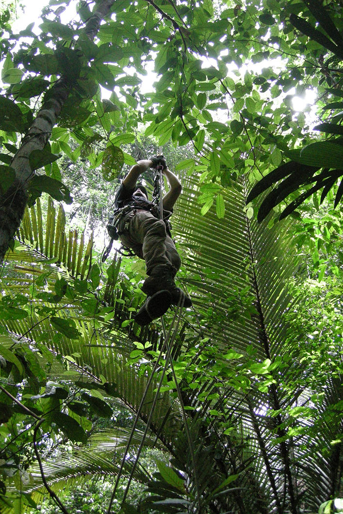
Vertigo? Never heard of it! These biodiversity specialists climb 20 to 30 meters high to gather the leaves of certain trees in the Amazon forest and complete their immense inventory. Approximately 6700 species have already been identified, but they could number over 16,000! (Amazonie Programme, 2009, French Guiana).
Jérôme CHAVE/CNRS Photothèque

2
Slideshow mode
Stationed at Changri-Nup, a glacier they want to model in 3D, these glaciologists have become well-known for their drone launches. The objective is to study water resources in the Nepalese Himalayas, an area dominated by the tourism economy (Preshine Programme, 2017).
Thibaut VERGOZ / IGE / LGP / PRESHINE / IRD / CNRS Photothèque

3
Slideshow mode
Indiana Jones has another thing coming! This archaeologist is exploring a well dug in the marble by the Greeks circa 500 BCE in Laurion, Attica. The area is famous for its lead and silver mines that were used by Athenians to finance the construction of a large fleet (IGME Laurion 03 Programme, 2003, Greece).
Denis MORIN/CNRS Photothèque

4
Slideshow mode
Be careful not to disturb the mud surrounding this mangrove in Sinnamary, French Guiana... The researchers have to take it slow with their canoe due to the low water level. The objective is to assess the role of the flora and fauna connected to the mud substrate, and to evaluate the capacities of mangroves to recycle organic matter (Biomango Project, 2013).
Isabelle BIHANNIC/LEMAR/CNRS Photothèque

5
Slideshow mode
These scientists are using underwater scooters to explore a lagoon in New Caledonia. They are studying the anthropic impact (i.e., that resulting from human beings) of New Caledonia and Vanuatu, heavy metal pollution in particular (Ibanoe Project, 2010).
Erwan AMICE/IRD/CNRS Photothèque

6
Slideshow mode
In mid-climb on the Argentière glacier in the Mont-Blanc massif, these scientists are racing against time. Their mission is to install in one day a network of one hundred seismometers according to precise GPS positions, in an effort to reveal the internal mechanisms of glaciers (Resolve Programme, 2018, The Alps).
Nicolas BAKER / ISTERRE / CNRS Photothèque

7
Slideshow mode
Firmly attached to his zip-line, this researcher is crossing the Diosaz River on the Kerguelen islands. The goal of his manoeuvre is to collect samples of moraine, piles of rocky debris freed by the melting of the Ampère glacier. Their analysis will help determine how far the glacier stretched in the past (2013, Indian Ocean).
Vincent JOMELLI/LGP/CNRS Photothèque

8
Slideshow mode
Diving beneath the ice floe in the process of breaking apart...The action is taking place on the outskirts of the Dumont d'Urville station in Adélie Land. The programme studies the flora and fauna of Antarctica. The line of vision also includes the installation of protected marine zones (Revolta Programme, 2015).
Erwan AMICE / LEMAR / CNRS Photothèque

9
Slideshow mode
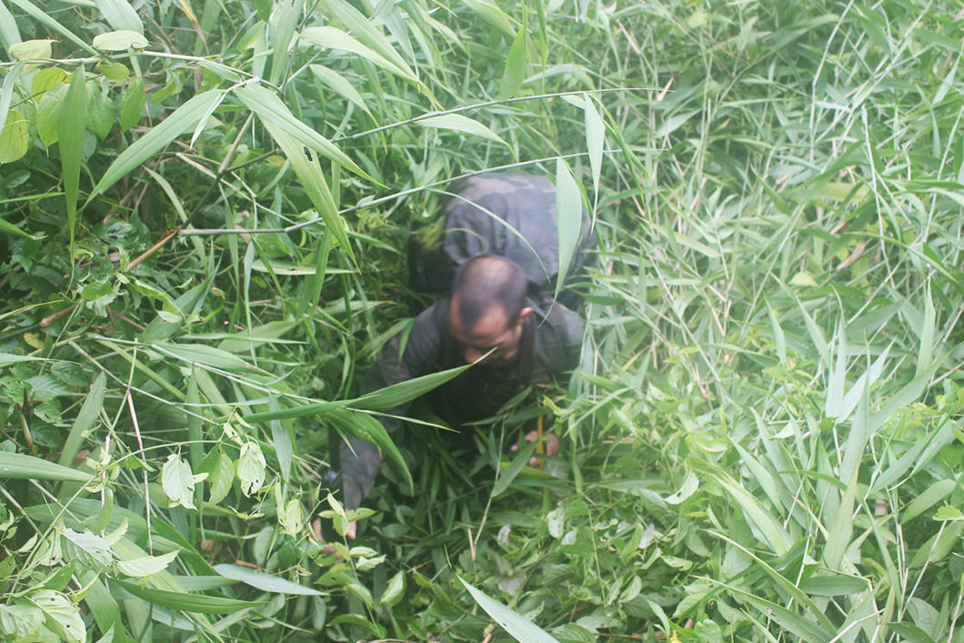
In June and July 2015, researchers from the CNRS and soldiers from the 3rd foreign infantry regiment hiked along the 320-kilometre border between French Guiana and Brazil, weaving in and out of the canopy. They came back with measurements for the IGN (National Institute for Geographic and Forest Information), as well as samples for the identification of botanical species.
F.-M. LE TOURNEAU
Explore more
Society
Article
02/13/2026
Article
02/10/2026
Article
01/23/2026
Article
12/02/2025
Article
11/09/2025
Himalayas
Video
01/30/2024
Slideshow
11/14/2019


